Interactive Trail Maps
Welcome to the trail! This interactive trail map can help you find the Finger Lakes Trail, access points, shelters and camping places along the trail in your region. This is an overview map and if you would like more detail, we recommend that you purchase maps, guides, and GPS files from the FLTC Store. These maps and their trail descriptions are particularly useful when the trail joins other trails or woods roads not depicted on the interactive map.
Click below on the segment of the trail you are interested in to view the interactive map in that region. Then use the link arrows ![]()
![]() on the left and right edges to view adjacent regions. You can also use these links to see the Full FLT System map or the map of the North Country Trail in New York on the FLT System. And when you are ready to purchase maps, visit the Index Map page to easily add maps to your shopping cart.
on the left and right edges to view adjacent regions. You can also use these links to see the Full FLT System map or the map of the North Country Trail in New York on the FLT System. And when you are ready to purchase maps, visit the Index Map page to easily add maps to your shopping cart.
How to use this map (Read this first)
Trail data © Copyright 2018, Finger Lakes Trail Conference, Inc.
NoticeThe data shown on this map is for general information purposes only. The Finger Lakes Trail Conference gives no warranty, expressed or implied, as to the accuracy, reliability, or completeness of these data. It is strongly recommended that only Finger Lakes Trail Conference maps, which have detailed mile-by-mile information on the back, be used as official resource for information about the Trail. |
About FLTC trail maps
Purchase paper maps and guides from the FLTC store or from other outlets throughout our region. You can also purchase digital PDF and GPX files for immediate download from the FLTC store.
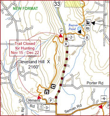
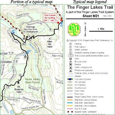
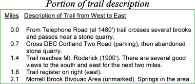
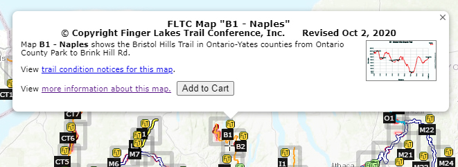
FLTC maps are printed on durable, waterproof 8-1/2 x 11 Rite-in-the-Rain® paper. Low cost, light weight, and no batteries needed! The back of each map contains a step-by-step guide to the trail section including trailheads, mileage, hiking directions, lean-tos and camping spots, sources of drinking water, points of interest, and important notices regarding trail closures during hunting seasons. Example from a typical map.
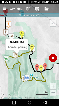
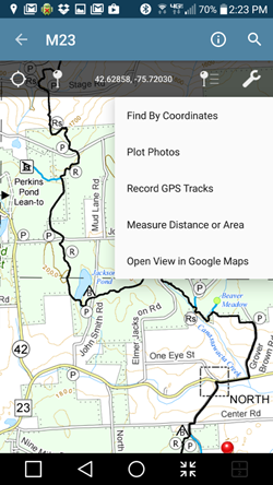
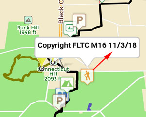
GPX files can be uploaded to your GPS device or smart phone and contain high-resolution tracks and waypoints. Download a sample file here and try it on your GPS device. Download sample GPX file here.
FLTC maps and GPX files are updated frequently to reflect trail reroutes, closures, and temporary conditions. Check the Trail Condition Notices on this website for the latest information.
Are my paper maps, PDF files, and GPX files up to date?
| Your purchases at the FLTC store are an important source of revenue that allows FLTC volunteers to build and maintain the trail. |




 This is an overview map of the Finger Lakes Trail System. It shows tracks of the main trail, branch trails, loops and spurs. The track colors represent the blaze colors for the branch trails, loops, spurs, and sections of the main FLT not blazed in white. Most of the main FLT is depicted in black & white for better visibility on various map backgrounds, but blazed in white on the ground. Trail closures (hunting, logging, etc.) and recommended bypass routes are depicted as shown at right. Hover over a track to display the name and length. Tracks colored
 This is a overview map of the Finger Lakes Trail System. It shows tracks of the main trail, branch trails, loops and spurs. The track colors represent the blaze colors for the branch trails, loops, spurs, and sections of the main FLT not blazed in white. Most of the main FLT is depicted in black & white for better visibility on various map backgrounds, but blazed in white on the ground. Trail closures (hunting, logging, etc.) and recommended bypass routes are depicted as shown at right. Hover over a track to display the name and length. Tracks colored
