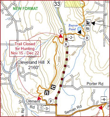
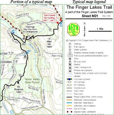
The FLTC publishes 66 high quality, waterproof paper maps and 66 downloadable digital map files of the Finger Lakes Trail system. Digital download files contain both PDF versions of paper maps and GPX files.
Purchase maps
For the best price on maps, purchase a map set available in both digital and paper formats. If you want scattered maps or just a portion of the trail system, you can select your own set of paper maps or digital map files—as many or as few as you need. The sale of maps helps to support the FLTC and the maintenance of the trail.
Map revisions
Maps are revised by the FLT Mapping Committee to reflect re-routes and major changes in trail conditions. Maps purchased on this website are always of the most current version of each map. While a map revision is in process, several days or even weeks may pass, however Trail Condition Notices are always posted as soon as possible. Hikers are always encouraged to check the Trail Condition Notices before the hike.
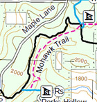
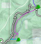
Some FLT maps include trails that are not part of the FLT system and are not maintained by the FLT. These are intended to suggest additional hiking options for hiker consideration. The actual location and condition of Non-FLT trails may differ from the representation on FLT maps. Non-FLT trails are shown as follows on PDF and Interactive maps and colored magenta in GPX files.
Are my paper maps, PDF files, and GPX files up to date?
About paper maps
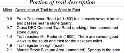
Paper maps are laser printed in color on waterproof Rite in the Rain® paper at 8½ × 11 size. The scale of most maps is 1 inch = 1 mile while the scale of several loop trail maps is 1 inch = 1/3 mile or less. The back of each map contains a detailed description of the trail including “step-by-step” notes on road crossings, trail junctions, lean-tos and bivouac sites, drinking water, and points of interest.
About digital map files
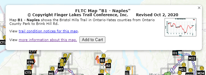
We also sell individual digital map files for immediate download. You can choose the files you want from the interactive index map of the FLT system. Each map file is in ZIP format and contains two files:
- A PDF file containing front and back pages of the standard FLTC paper maps.
- You can view the map or print a copy yourself.
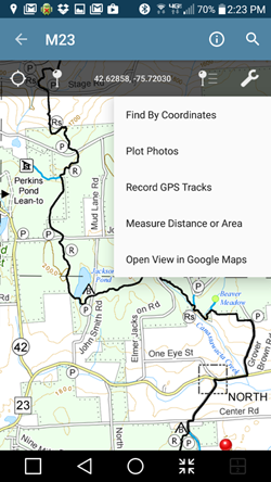
- The PDF file is geospatial-enabled and can be imported into your Apple or Android device for viewing and tracking. For more information about apps for your device, click here.
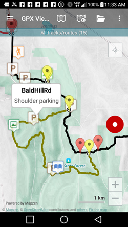
- A GPX file containing the track and waypoints for the main trail and all spurs and loops.
- For help using our GPX files on GPS units, click here.
- For help using our GPX files on mobile devices, click here.
When you complete your purchase, you will see links to download your map files. You will also receive an email with a copy of the links. The links expire after five days, so be sure to download the files before then.
Use this link to download a sample map ZIP file to make sure that you can use this format.




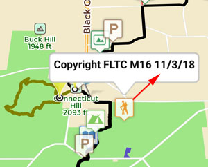
 This is an overview map of the Finger Lakes Trail System. It shows tracks of the main trail, branch trails, loops and spurs. The track colors represent the blaze colors for the branch trails, loops, spurs, and sections of the main FLT not blazed in white. Most of the main FLT is depicted in black & white for better visibility on various map backgrounds, but blazed in white on the ground. Trail closures (hunting, logging, etc.) and recommended bypass routes are depicted as shown at right. Hover over a track to display the name and length. Tracks colored
 This is a overview map of the Finger Lakes Trail System. It shows tracks of the main trail, branch trails, loops and spurs. The track colors represent the blaze colors for the branch trails, loops, spurs, and sections of the main FLT not blazed in white. Most of the main FLT is depicted in black & white for better visibility on various map backgrounds, but blazed in white on the ground. Trail closures (hunting, logging, etc.) and recommended bypass routes are depicted as shown at right. Hover over a track to display the name and length. Tracks colored

