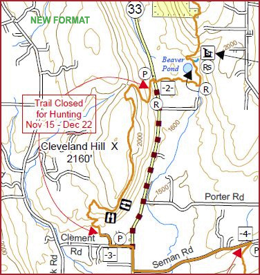
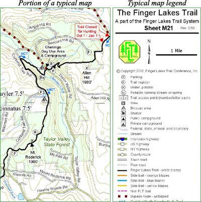
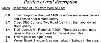
Detailed instructions for using the Track and Waypoint data in these GPX files are provided here.
Notes on Garmin units
Instructions for using the data with these recommended Garmin GPS units are also included:
Recent Garmin units: 62, 78, Oregon, Dakota, and Colorado. The Oregon and Dakota models are “touch screen” units (similar to auto GPS units) amd may be a little easier to learn how to use.
- Advantages: Can hold 200 loaded (saved) tracks of up to 10,000 track points each, slicker interfaces to work with, can load in aerial imagery (Google Earth in your hand) at $30/year.
- Disadvantages: More expensive, loaded (saved) tracks do not retain track colors and are not turned on by default (but we’re hoping a future update with Garmin WebUpdater will fix these two problems).
Older Garmin units: 60, 78 (instructions can also be used with Etrex Vista HCx and Etrex Legend HCx with slight modifications).
- Advantages: Less expensive, loaded (saved) tracks retain track colors and are turned on by default.
- Disadvantages: Can hold only 20 loaded (saved) tracks of only 500 track points each (but tracks we sell are filtered down to this level), these models may soon be discontinued, Etrex models mentioned above can be quite inaccurate if oriented vertically.
Bottom Line Recommended Unit? If you are a “techie” and can find it, grab the 60CSx at the present discounted prices. If you are a “newbie” you might prefer the touch screen Dakota or Oregon units (the Oregon 550 models can also take geotagged [lat-long embedded] photos).
Unless you have one of the recent Garmin units that has preloaded topo maps (indicated with a “t” at the end of the model number) you will want to download free topo maps for Garmin GPS units from GPS File Depot or other web sites. You can also purchase Garmin Topo U.S. 100K or similar Garmin software on DVD or micro SD card, but these can be expensive.
NOTES ON OTHER GPS BRANDS
Delorme Units: These data also work with the Delorme GPS units PN-20 and PN-40, if you also have Delorme Topo software. However, expect loss of track and waypoint attributes (such as colors and symbols) with these and other GPS units that are not in the above recommended list.
Other Units: These GPX files may be compatible with other GPS units, but we have tested these files only with the recommended units listed above. If you are using another unit, it is up to you to determine that your GPS unit can use this GPX data. Before ordering the digital download map files, try downloading this sample GPX file, M09.gpx (our map M9), to ensure that it is compatible with your hardware and software.

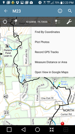


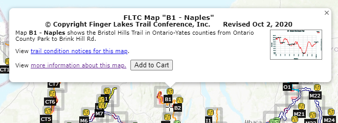

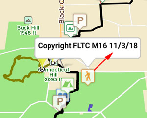
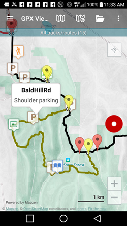
 This is an overview map of the Finger Lakes Trail System. It shows tracks of the main trail, branch trails, loops and spurs. The track colors represent the blaze colors for the branch trails, loops, spurs, and sections of the main FLT not blazed in white. Most of the main FLT is depicted in black & white for better visibility on various map backgrounds, but blazed in white on the ground. Trail closures (hunting, logging, etc.) and recommended bypass routes are depicted as shown at right. Hover over a track to display the name and length. Tracks colored
 This is a overview map of the Finger Lakes Trail System. It shows tracks of the main trail, branch trails, loops and spurs. The track colors represent the blaze colors for the branch trails, loops, spurs, and sections of the main FLT not blazed in white. Most of the main FLT is depicted in black & white for better visibility on various map backgrounds, but blazed in white on the ground. Trail closures (hunting, logging, etc.) and recommended bypass routes are depicted as shown at right. Hover over a track to display the name and length. Tracks colored

